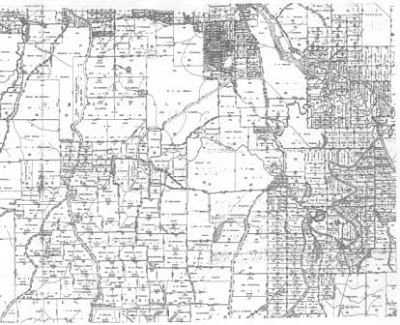
The above map is a cadastral map for Logan City, Australia. This small-scale map (relative to the one below) obscures some fo the fine detail of a larger scale, but it does allow one to see the changes in relative size of properties in different areas of the city. It would seems there are areas of relatively high population density (or property density, anyway) in the right and top of the map.

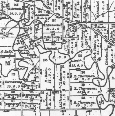
On this larger scale map of the same region one can see finer detail, including measurements and boundaries for the individual properties, as well as owner names. It would seem that some sort of meets and bounds measuring system was utilized. I make this inference based on the use of the river on the right as a boundery. This would likey change over time (especially considering the meandering profile of the river).
The original can be found at http://www.logan.qld.gov.au/LCC/logan/history/publications/RidgetoRidgeRecollectionsfromWoodridgetoParkRidge.htm
No comments:
Post a Comment