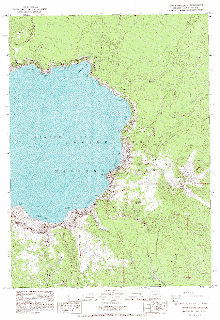
The above image, a DRG found at oregonexplorer.info/craterlake/dlgv32.html, is a depiction of the eastern shores of Crater Lake. This image is a scanned and digitized version of the USGS topographic map. This particular image was found on a site used to combine and layer different cartographic information sets. This image is one of two intended as base layers for Crater Lake.
No comments:
Post a Comment