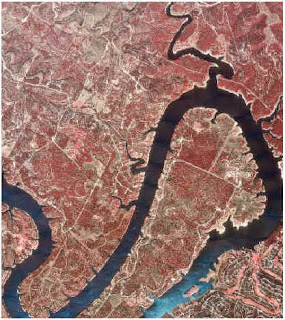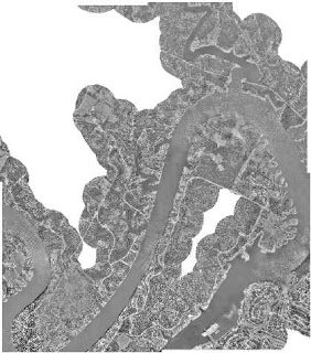
 The images above, both taken from http://www.crwr.utexas.edu/gis/gishydro00/Class/trmproj/Donnelly/termproject.htm, illustrate the use of a Digital Orthophoto Quarter Quadrangle by the insurance industry. In this case the image, which is an aerial photo which has been corrected for angle and distortion in the photo process, is used to determine flood plane data for an insurance company. The image shows a span of 3.75 minutes latitude and longitude at a 1 meter x 1 meter resolution.
No comments:
Post a Comment