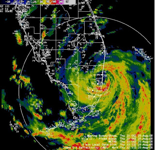
The above image can be found at www.srh.noaa.gov/mfl/events/?id=katrina
The image is a composit of Doppler radar information with both the state and county political borders shown for reference. In addition wind symbols add information from individual weather recording stations throughout the area.
No comments:
Post a Comment